| Home Page |
| The South Downs Way |
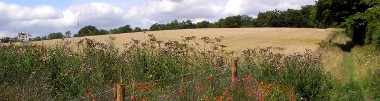
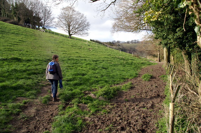
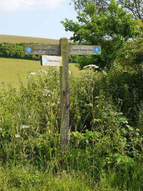
We are not (yet) setting out to walk the South Downs Way seriously, but come across bits of it from time to time, and I thought I'd document those bits here, until such time as we walk it seriously. South Downs Way 01Only "01" because it's the first bit I ever did. Quick 1.3 miles from a pull-in up to a trig point (with totally stunning views over the downs and out to sea). Near Steyning, in Sussex. Park here, walk west till you get to the footpath, then turn north until you get to the trig point. The GPX file can be downloaded from here. Note the tiny bit of the Mobnarch's Way, here, near the touching monument to a local farmer, Walter Langmead. South Downs Way 02: Chanctonbury RingSecond walk of our first day on the South Downs Way. Three and a half miles, but 1100 ft of "up". Park at the Washington SDW car park, follow the South Downs Way, and explore the Dew Pond (here), the Trig Point, and Chanctonbury Ring. Follow the path throught the gate here for a very steep descent and a circular walk. You can download the GPX file here. |

|
© Copyright Pierre Terre and licensed for reuse under this Creative Commons Licence.
© Copyright Janine Forbes and licensed for reuse under this Creative Commons Licence.